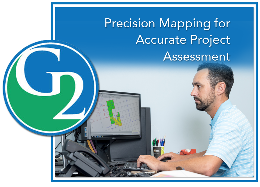
G2 utilizes intelligent Geographic Information System (GIS) applications to generate complete and precise maps designed for clients’ specific requirements.
The maps display graphical properties, values and information from mineral leases, seismic permits or rights-of-way, offering clients a comprehensive and real-time visual representation from which to assess project status.

